
Articles in the Articles Category

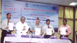
says Lt Gen Dilip N Desai, Director General Information …

There are numerous types of GPS receivers in the current international marketplace, ranging from inexpensive, low accuracy handheld devices to expensive, high precision geodetic equipment. By and large, low–cost GPS receivers (whether sold as a plug– in hardware device or as a complete navigation and positioning receiver) have almost assumed mass market status in the consumer electronics industry. Recent advances in micro and wireless technology, reductions in consumer costs, and the apparent growth of the Location Based Services (LBS) industry have somewhat fuelled the need for mobile (information communications and technology) consumers to become “location aware”.
IRNSS to be independent of other constellations
The Indian Space Research Organisation (ISRO) will be establishing a satellite navigation system on the lines of the US GPS. The proposed Indian Regional Navigation Satellite System (IRNSS), which will consist of a constellation of eight satellites, is likely to be operational in six years time.
The Union Cabinet had approved the Rs 1,600 crore project in May this year. According to Madhavan Nair, Chairman ISRO the IRNSS would be developed indigenously and will be independent of other constellations.
India, a happening place.
Right to information, New Map Policy, and now a government resolution on NSDI.
A visible change in …

Six tiny FORMOSAT-3 satellites that were sped into space on April 15, 2006 are designed for systematic mass scale radio occultation (RO) studies of the Earth atmosphere and ionosphere at different altitudes by use of the GPS signals. Termed as the Formosa Satellite-3/ Constellation Observing System for Meteorology, Ionosphere, and Climate (FORMOSAT-3/COSMIC) mission, the new constellation’s primary science goal is to obtain in near real time the vertical profiles of temperature, pressure, refractivity, and water vapor in the neutral atmosphere, and the electron density in the ionosphere with global coverage. The measurements during five years of mission life will provide about 2,500 soundings per day, thus generating extensive information to support operational global weather prediction, climate change monitoring, ionospheric phenomena, and space weather research. The theory of RO measurements has been described previously (Gurvich and Krasilnikova, 1988; Yunck, 1988; Yakovlev, 2002; Hajj et al., 2002). During last four years, essential modernization in the RO technique has been introduced (e.g., Liou et al., 2002, 2006; Pavelyev et al., 2004 and references therein).
july 2006
GeoWeb 2006
24 – 28 July, Vancouver, BC, Canada
khenton@gita.org
2006 IEEE International Geoscience …
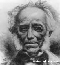
It was the 25 November 1820 when Everest reached Table Bay and the chance to recover from the fevers to which he had succumbed. Little is known of the year he spent there other than the work he did on the meridian arc that had been observed by M. l’Abbé de LaCaille some 70 years …
The Geodetic of Research Branch, Survey of India joined hands with …
David Sharp was left to die.
Many saw him.
They didn’t do anything.
Perhaps they could not.
Perhaps it was ‘impossible’ to do …

With the launch of GPS in the 1980s, the task of providing control points for mapping purposes was greatly simplified, leading to economy and ease of operation. The technique of LASER mapping, which existed decades before GPS, also received a boost due to GPS, as instantaneous precise positioning of the exposure station during the mobile LASER mapping operation was made possible by GPS, thus solving a major problem in LASER mapping…


 (5.00 out of 5)