Virtual Surveyor 6.1 handles more than drone data
Virtual Surveyor 6.1 now handles on-thefly projections that previously required a separate software package to set the data in the proper coordinate system. It has become popular among surveyors because it bridges the gap between UAV photogrammetric processing applications and engineering CAD packages. The software generates an interactive …
New China-Brazil Earth resources satellite in launch in H2 2019
The China-Brazil Earth Resource Satellite- 4A (CBERS-4A) will be launched in the second half of 2019, according to Li Guoping, secretary-general of the China National Space Administration (CNSA).
With a spatial resolution of two metres, the CBERS-4A satellite will offer the highest precision among CBERS satellites, though …

In light of the emergence of big data, I have advocated and argued for a paradigm shift from Tobler’s law to scaling law, from Euclidean geometry to fractal geometry…

This study explores the existing CORS network particularly the Greater Accra CORS to know the extent of its usage for GPS surveys in Ghana and to determine its usefulness in ensuring uniform and homogenous data collection
Surv. Sebastian Botsyo (MGhIS)
Ghana School of Surveying and Mapping, Cantonments, Accra, Ghana
Bernard BORKETEY BORTEI
Geomatic Engineer, Volta River Authority, Ghana
John AYER
Senior …

The emblematic intergovernmental Group of Earth Observations (GEO) sees food, water and energy security, natural hazards, pandemics of infectious diseases, sustainability of key services, poverty,…
Kalashnikov gunmaker creates satellite navigation signal suppressing system for drones
ZALA AERO, part of the Kalashnikov Group, has demonstrated a new device of satellite navigation signal suppression for UAVs.
The compact module is placed under an unmanned aerial vehicle’s wing and suppresses the signal of satellite navigation systems within a radius of up to 5km, …
India allows flying commercial drones day-time from Dec 1
India has finally permitted commercial flying of drones with effect from December 1, 2018, according to a press release from the Ministry of Civil Aviation on August 27.
The ministry announced Drone Regulations 1.0 on August 27 to enable safe, commercial usage of drones. The regulation …

The 110 year old transition from 10.8% (in 1901) to 31.2% urban (in 2011) depicts India as an inarguably rural nation (Buch, 2015). Urban settlements in India are islands dispersed in a loosely knit ocean of rurality. We are no strangers to the problems that arise due to lack…

This is a world of multi-GNSS systems. What advantages do you see about this scenario?
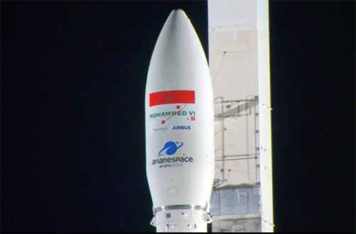
Russia launches Glonass-M navigation satellite
Russia has launched a Soyuz-2.1b carrier rocket from the Plesetsk space center to orbit a Glonass-M satellite, the Russian Defense Ministry said.
“The middle-class Soyuz-2.1b carrier rocket launched on June 17 from the Plesetsk space center (Arkhangelsk Region) successfully put the Russian navigation Glonass-M spacecraft to the designated orbit.” Earlier, …


 (5.00 out of 5)