
Articles in the Articles Category


Applications and services based upon GNSS are becoming increasingly embedded in modern society, to the extent that we Europeans, along with much of the rest of the World, have now become critically dependent upon their correct operation. In the event of GNSS problems, telecommunications networks…

As more GNSS satellites will be operational within the next few years, the confidence of the position and timing solution for the user is expected to increase. On the other side from the integrity point of view the user faces new problems. It has to protect itself against more potential failures that might occur…

The Survey of India (SoI) is the pioneer surveying and mapping agency for India. The organisation conducts surveys at regular intervals and generates classified and nonclassified topographic map sheets using a polyconic system of projection. Modern applications are now demanding maps at higher scales and precision.
October 2013
UN GGIM AP
28 – 30 October
Tehran, Iran
November 2013
GSDI World Conference (GSDI14) and the AfricaGIS 2013 Conference
4 – 8 November
Addis Abbaba, Ethiopia
www.gsdi.org/gsdiconf/gsdi14/
WALIS Forum 2013
7-8 November
Crown Perth, Australia
http://www.walis.wa.gov.au/forum
ICG-8: Eighth Meeting of the International Committee on GNSS
10 – 14 November
Dubai, United Arab Emirates
www.oosa.unvienna.org/oosa/en/SAP/gnss/icg.html
SPAR Europe/European Lidar Mapping Forum
11-13 November
Amsterdam, The Netherlands
www.sparpointgroup.com/Europe/
ISPRS: Serving Society with Geoinformatics
11 – 17 …

Many National Mapping Organizations (NMOs) gear up
To embrace the challenges
Of meeting the needs of their citizens

Acontour map is made up of contour lines and depicts the shape of any portion of the earth surface. A contour line is an imaginary line drawn on the map to connect points with the same elevation or height, above or below the earth surface to form a continuous line shown in brown colour on the map.

Both the eBee and swinglet CAM have been designed with ease of use for the end user in mind. Our drones are hand launched then fly & land fully autonomously. Safety is high on our list of priorities at senseFly, which is why our systems were developed with a foam airframe and rear-mounted propeller to…
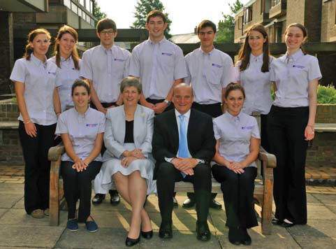
The 22nd July 2013 saw the start of the first combined meeting of the Cambridge Conference and UN-GGIM. Both these conferences bring together geospatial leaders from around the world to discuss the pressing matters that are most prominent in this ever changing industry.

Traditionally, photogrammetry required significant manual effort, which limited its utilization. Since digital photogrammetry was introduced, there has been a constant improvement of the camera systems and the processing workflow. More data can now be collected and processed.


 (5.00 out of 5)