Articles in the Articles Category

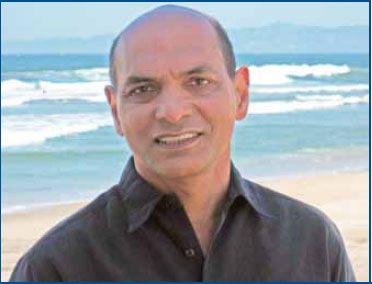
Says Sanjai Kohli, Father of Mass Market GPS and Inventor Extraordinaire
Congratulations on winning the European Inventor Award 2010 along with Steven Chen for your outstanding work on developing powerful chipsets. The GPS industry has already felt the impact of your invention, how do you feel about the recognition finally being accorded to you?
We knew that …
August 2010
Bengaluru Space Expo
25-28 August
Bangaluru, India
http://www.bsxindia.com
September 2010
ITS/Navigation Shanghai 2010
1-3 September
Shanghai, China
www.naviforum.org/
ESA International Summer School on GNSS
1-11 September
Denmark
www.munich-satellite-navigation-summerschool.org/
IPIN 2010
September 15-17, 2010
ETH Zurich, Campus Science City
(Hoenggerberg), Switzerland
www.geometh.ethz.ch/ipin/
ION GNSS 2010
21 – 24 September
Portland, Oregon, USA
www.ion.org
G-Spatial Expo
19-21 September
Yokohama, Japan
g-expo@jsurvey.jp
www.g-expo.jp/en/
GDI APAC
28-30 September
kuala Lumpur, Malaysia
www.geopatialdefenceasia.com
International Astronautical Congress 2010
27 Sep – 01 Oct
Prague Czech Republic
iac2010@guarant.cz
www.iac2010.cz/en
Geospatial Intelligence Summit
28-30 September 2010
Vienna, Austria
www.jacobfleming.com
October 2010
INTERGEO
5-7 October
Cologne, …

Accurate and continuous position computation is a key task for vehicle navigation and telematics applications. In most portable car navigation and telematics devices, the position is determined based only on GPS data. However, in urban canyons stand-alone GPS suffers signal masking and reflections of the signal from buildings, large vehicles, and other reflective surfaces. Driving tests in such metropolises as Hong Kong…

GIOVE-A is a first Galileo test satellite launched on December 28, 2005. The satellite payload transmits two frequency signals at L1+E5 or L1+E6. There are 13 world wide located Galileo Experimental Sensor Stations (GESS) to track and monitor the GIOVE-A signals. High accuracy of GIOVE-A ephemeris or orbit, however, is essential for navigation applications. The paper presents a new method to deal with the precise orbit…

says François Erceau vice president and general manager of Ashtech
While commenting on the name change from Magellan Professional to Ashtech you said, “Ashtech brings a remarkable legacy of technology, precision, and innovation, but the ‘new Ashtech’ is a venture for the 21st century.” Would you like to elaborate?
Founded in 1987, Ashtech® has long played an …
June 2010
GEA’2010
22 -24th June
Cracow, Poland
jacek@gea.com.pl
http://gea.com.pl/targieng.php
July 2010
ISPRS Centenary Celebrations
4 July
Vienna, Austria
www.isprs100vienna.org
ESRI International User Conference
12-16 July
San Diego, USA
www.esri.com
August 2010
Bengaluru Space Expo
25-28 August
Bangaluru, India
http://www.bsxindia.com
September 2010
ESA International Summer School on GNSS
1-11 September
Denmark
www.munich-satellite-navigation-summerschool.org/
IPIN 2010
September 15-17, 2010
ETH Zurich, Campus Science City
(Hoenggerberg), Switzerland
www.geometh.ethz.ch/ipin/
ION GNSS 2010
21 – 24 September
Portland, Oregon, USA
www.ion.org
G-Spatial Expo
19-21 September
Yokohana, Japan
g-expo@jsurvey.jp
www.g-expo.jp/en/
GDI APAC
28-30 September
kuala Lumpur, Malaysia
www.geopatialdefenceasia.com
International Astronautical Congress 2010
27 Sep – …

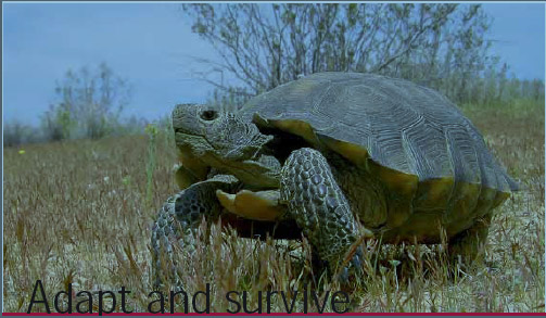
It is not the strongest,
Nor the most intelligent,
But the ones most responsive to change,
Survive.
So said Darwin.
With the advent of new species – Smart Phones, MIDs..
The landscape of satellite navigation industry is changing.
Once considered a powerful and promising navigation force,
The space of PND appears to be shrinking.
Probably there is a need to adapt.
And evolve.
Bal Krishna, Editor
bal@mycoordinates.org
Tweet

From the early days of the development of basic navigational software built into satellite navigational receivers, it has been noted that for the sake of simplicity and a number of other reasons, this navigational software is often based on methods of limited accuracy [1]. It is surprising that even nowadays the use of navigational software is still used in a loose manner, sometimes ignoring basic principles and adopting oversimplified…


 (5.00 out of 5)