
Karnataka, India: A central government appointed probe panel has found “sufficient evidence” of land grabbing against the controversial Karnataka High Court Chief Justice, PD Dinakaran. The probe panel report is likely to be based on satellite images of the village land, revenue records submitted by the state officials and statements of villagers and the version …
Land Administration for Sustainable Development examines global land administration systems at different levels of maturity. This examination elucidates how countries can establish basic infrastructure for the implementation of land-related policies and land management strategies that will help ensure social equality, economic growth, and environmental protection. Through its presentation of a holistic view of land management …

Ownership and long term leasehold are the most important rights in land. The actual content of these rights may vary between countries and jurisdictions, but in general the content is well understood. Rights to land also include the rights of use. This right may be limited through public land use regulations and restrictions, sectoral land use provisions, and also various kind of private land use regulations such as easements, covenants, etc…

ll countries have to deal with the management of land. They have to deal with the four functions of land tenure, land value, land use, and land development in some way or another.
National capacity may be advanced and combine the activities in one conceptual framework supported by sophisticated ICT models. More likely, capacity will involve very fragmented and basically analogue approaches…

Landslide is a common hazard in the hilly regions which causes heavy losses to life and properties every year. Since 1980 various researches and analyses have been carried out in the GIS environment to identify factors responsible for causing landslides. The important conditioning factors identified by the researchers are slope, geological, geomorphologic structures and land use coupled with triggering factors like rainfall and a few of the anthropogenic activities…

Land Information Management System is defi ned as the combination of human and technical resources, together with a set of organizing procedures that produces information on land in support of a broad range of managerial requirements. Data are raw collection of facts. Data relating to land may be acquired and held in alphanumeric form (for example books), or graphically (for example, as maps or aerial photographs), or digitally…

Coordinates : A resource on positioning, navigation and beyond » Blog Archive » Understanding land administration systems…
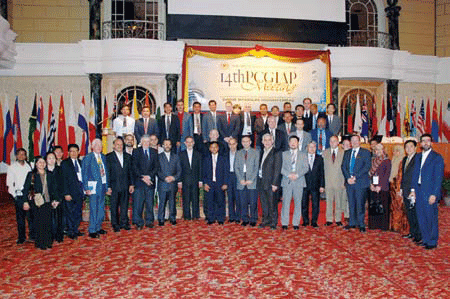
19-20 August 2008 – Kuala Lumpur, Malaysia
TThe UN sponsored Permanent Committee on GIS Infrastructure
(PCGIAP) together with …

The present study aims at developing a generic automated methodology for addressing Multi-Objective Multi- Criteria Decision-Making problems. Scientific approach which make use of analytical modeling techniques are essential to suggest suitable changes in land use and to generate action plan for an area for land and water resource development. This problem can be cast into a multi-objective multicriteria decision-making problem…


 (5.00 out of 5)