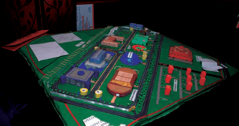
The competition started nearly two decades ago in the United States as the National Engineers Week Future City Competition with the aim to provide fun and exciting educational engineering programs for school students by combining stimulating engineering challenges with ‘hand-on’ application to enable them to present their vision of a city of the future…

EU developing ‘militarised’ space policy which could trigger ‘arms race’
The European Space Agency is accused of developing technology to dominate the “high ground” of space, including a multimillion pound EU Satellite Centre in Spain. The Transnational Institute, a Dutch think-tank, said: “EU-financed communication and spy satellites are slowly becoming reality and in the long term the inclusion of space-based missile defence and other more offensive uses of space are real options for an increasingly ambitious EU military space policy.” The report said French ambitions for the “militarisation of space” have led to arguments with Britain – particularly over Galileo, the much-delayed European global positioning system. President Nicolas Sarkozy of France, who currently holds the Presidency, said in June that space agenda was one of his priorities. Galileo would be vital in any European deployment of the sort of GPS-guided artillery now being used by the US in Iraq and Afghanistan

Demand for Satellite Navigation technology and applications keeps on increasing in a wide range of economical, social, technological and environmental sectors. This growing interest in the development of Satellite Navigation Systems is demonstrated by the interest of several countries in starting the development of new systems or contributing to existing ones. The major rational behind is…

PIL demands removal of country’s images from Google Earth
Public interest litigation was filed in the Bombay High Court in India, has taken exception to easy access to satellite images of the vital installations in the country through Google Earth. The petition filed by Mumbai-based lawyer Amit Karkhanis has demanded removal of images of the country from Google Earth. The petition is filed against the backdrop of terror attacks in Mumbai. The petition is likely to come up for hearing on December 18.

Coastal navigation upgrade
The UK’s General Lighthouse Authorities (GLAs) have awarded a £4m contract to VT Communications for the upgrade of 14 Differential Global Positioning Service reference stations. The upgrade includes adding the capability to use modernised GPS signals that will be needed for tracking the future satellite navigations systems, Galileo and GLONASS. www.vtplc.com

New GIS software from India
The Space Applications Centre and Scanpoint Geomatics in Ahmedabad have released a new product, IGIS. It has been developed to a requirement from Indian Space research Organisation for a GIS software that could ingest data from its satellites and turn out information products. It contains an integrated image processing engine and a GIS. www.scanpointgeomatics.com

Canalys: EMEA Q3 GPSs phone shipments overtake PNDs
According to Canalys, shipments of PNDs in the Q3 to Europe, the Middle East, and Africa fell to 4.3 million from 4.8 million in Q2, while shipments of GPS-enabled smartphones soared, rising from 4.7 million to 10.4 million. Based on its latest research, the firm estimates that global shipments of PNDs in Q3 2008 rose 14% compared to Q3 2007, with North America and Asia Pacific still seeing considerable volume growth of 49% and 25% respectively. The risk to PND vendors is likely to rise further as the economic situation forces more consumers to take a hard look at their discretionary purchases/ www.canalys.com
December 2008
GEOExpo 2008 China
2 – 4 December 2008,
Shanghai, China
sales@chinageo-expo.com
http://www.ChinaGeo-Expo.com
January 2009
ESRI Asia Pacific User Conference
20-21 January 2009
Singapore city,Singapore
http://www.esri.com/events/apuc/index.html
Intergeo East
27-29 January 2009
Istanbul,Turkey
http://www.intergeo-east.com
February 2009
Trimble Dimension 2009
123-25, February 2009
The Mirage, Las Vegas, USA
http://www.trimbleevents.com/dimensions09
March 2009
Munich Satellite Navigation Summit Conference
March 3-5,2009
Munich, Germany
http://www.munich-satellite-navigation-summit.org
April 2009
GEO Siberia 2009
21-23 April
Novosibirsk, Russian
nenash@sibfair.ru
http://www.geosiberia.sibfair.ru
May 2009
International Conference on …

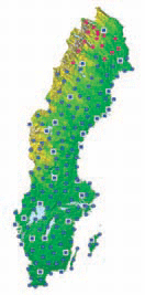
SWEPOS™ is a network of GPS/GLONASS reference stations which began as a co-operation between the National Land Survey of Sweden and Onsala Space Observatory. The early design phases of SWEPOS were made in 1992. It was already then stated that the network should be of both scientific and practical benefit to the professional GNSS users and the public. The purposes of SWEPOS are mainly to [1]…


 (5.00 out of 5)