
Developments in the era of advanced science and technology nowadays is a challenge and an opportunity, especially in the field of geospatial information in Indonesia. As stipulated by the Act 1945 article 28 F that every person has the right…

FIG was founded on July 18 1878 in Paris by delegates from seven national associations – Belgium, France, Germany, Great Britain, Italy, Spain and Switzerland. Today FIG has been recognized by the United Nations and the World Bank…
The inaugural 3D Australia conference was at the University of Melbourne from 24th to 27th October 2017. 3D Australia 2017 comprised the 3D Geoinfo Conference 2017, the 1st international workshop on BIM and GIS integration, and 3D Cadastre training.
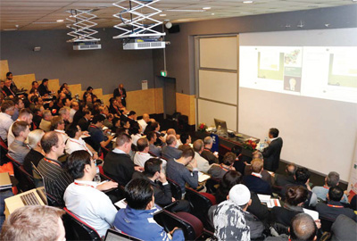
The 3D Geoinfo Conference 2017 brought together 150 international researchers from academia, industry and government in …

A couple of decades ago, it was necessary to collect carrier-phase data with at least two GPS receivers simultaneously within a few hours to make high…

Public institutions face new expectations every day, as citizens, companies and elected representatives expect them to improve their services and streamline processes by adopting new technologies. While the development of new technologies…

In general, our industry offers surveying and mapping services, survey equipment and GIS services. More recently it also provides BIM services. In the surveying and mapping, our industry offers data collection services, and at a higher level…

The VGI approach to photogrammetry poses additional challenges, because the data are not recorded according to photogrammetric requirements…

The proposal of the Sustainable Development Goals by the United Nations in 2015 and the prominence of smart city projects in an era of accelerating urbanization…

Advances in digital technology and globalisation have imposed a multi-disciplinary approach on survey and mapping.
RIEGL gets JALBTCX Technical Award for contribution in LiDAR bathymetry
The receipients of the Sebastian Sizgoric Technical Achievement Award has been announced. RIEGL has been chosen this year for its major contribution in the field of LiDAR bathymetry and airborne coastal mapping and charting. The trophy was presented to RIEGL during the 18th Annual JALBTCX …


 (5.00 out of 5)