Articles in the Articles Category

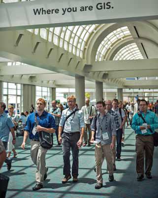
“Geography is our platform for understanding the world,” said Esri president Jack Dangermond in his opening remarks at the 2012 Esri International User Conference, held July 23–27 in San Diego, California, “and GIS makes geography come alive by condensing down data and knowledge into a kind of language that we can easily understand.”

BeiDou is the Chinese pronunciation of the Big Dipper, which consists of seven stars located exactly at the north sky. Chinese people used BeiDou for identifying directions as long back as the ancient times. They also invented the world’s first navigation device based on terrestrial magnetism, the ancient compass, whose Chinese pronunciation is Sinan.

The project involves the establishments of a full complement of SBAS consisting of 15 Indian Reference Stations (INRES), 3 Indian Land Up-link Stations (INLUS), 2 Indian Master Control Centers (INMCC), 2 Geo-Stationary Navigation Payloads and with all the associated software and communication links.

High-performance autonomous pedestrian dead-reckoning (PDR) systems usually include 6 degrees-offreedom (DOF) inertial measurements unit (IMU) to calculate position of the user. These systems don’t rely on GPS signals and preinstalled infrastructure such as RF beacons, Wi-Fi routers, ultrasonic transmitters etc.
IAIN 14th Congress & Melaha 2012 Conference
1 – 3 October
Cairo, Egypt
www.ainegypt.org;
GISSA Ukubuzana 2012
2 – 4 October
Gauteng, South Africa
http://www.gissa.org.za/;

A casual Internet search can uncover much concern about the abruptness – and a potential for unnecessary “dodgesjust- in-case-the-azimuth direction…” – and the safety – of the climb / dive combination. Those and other capability restrictions are traceable to limited pre- GPS technology – highly dependent on transponders.

The key issue in the region is harmonization, which is not just a regional issue but rather a global matter. Within the region, different countries are at different stages of development, from Air Traffic Management (ATM) systems to procedures and airspace designs—some are quite advanced while others are just getting started.

Considering the transformational rate of growth in passenger traffic, airline fleet and the aircraft movements anticipated in the next few decades, the challenges that confront aviation are the need for matching airport/CNS-ATM infrastructure, airport/airspace capacity enhancement and technology up gradation.


 (5.00 out of 5)