EarthSense releases map of air pollution in UK
EarthSense Systems has published MappAir – the first ever high resolution nationwide map of air pollution. Combining data from satellites and its own air quality monitoring sensors together with open source data, it has used complex modelling techniques to create the highly accurate map.
Initially available for …
No UK firms for European space contracts due to Brexit uncertainty
British firms are being “excluded” from bidding for lucrative space contracts due to concerns over Brexit. Simon Henley, the president-elect of the Royal Aeronautical Society, told MPs companies have said they are losing out.
He gave the example of the Galileo programme, Europe’s GNSS …
says Stuart Woods, Vice President, Geospatial Solutions Division, Leica Geosystems AG in an interview with Coordinates…
How does 3-D capture technologies help to ‘understand infrastructures’ better?
The world is not flat. By working with 3-D technologies, we are able to represent our world in a model which best approximates reality. This enables us to compare to …

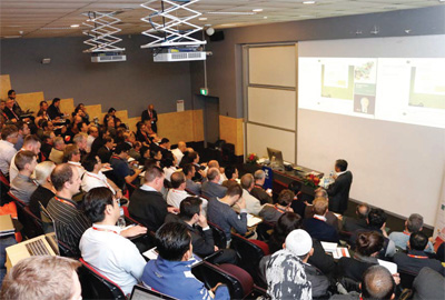
The inaugural 3D Australia conference was at the University of Melbourne from 24th to 27th October 2017. 3D Australia 2017 comprised the 3D Geoinfo Conference 2017, the 1st international workshop on BIM and GIS integration, and 3D Cadastre training.
The 3D Geoinfo Conference 2017 brought together 150 international researchers from academia, industry and government in …


 (5.00 out of 5)