


Gasp Chamber
With air quality at dangerous level
This time around air pollution in Delhi
Led to health emergency.
Several desperate measures were taken,
Banned on construction activities,=
Plying of vehicles with odd-even numbers on odd and even dates
Schools closed for few days,
Alas! not with desired results. …
October 2019
Commercial UAV Expo Americas
28 – 30 October
Las Vegas, USA
www.expouav.com
Commercial UAV Expo
28 – 30 October Las Vegas, USA
www.expouav.com
ISGNSS 2019
29 October – 1 November Jeju Island, South Korea
www.ipnt.or.kr/isgnss2019
November 2019
International Timing and Sync Forum 2019
4-7 November
Brighton, United Kingdom
http://itsf2019.executiveindustryevents.com
GEO Week 2019 and the GEO Ministerial Summit
4-9 November Canberra, Australia
www.earthobservations.org
The Commercial …
New Quanta Series INS/GNSS by SBG Systems Dedicated to Mobile Mapping
SBG Systems has presented for the first time at the INTERGEO show in Stuttgart (Germany), the Quanta Series, a brand new line of Inertial Navigation Systems (INS) dedicated to air and land based mobile mapping integrators.
Because SBG Systems wants surveyors to save autonomy …
Applanix releases New POSPac LiDAR Quality Control Tools for UAVs
AApplanix has introducedLiDAR Quality Control (LiDAR QC) Tools for Unmanned Aerial Vehicles (UAVs)—a new software module supported by the latest release of Applanix’ industry-leading GNSSaided inertial post-processing software packages, POSPac Mobile Mapping Solution (MMS) and POSPac Unmanned Aerial Vehicles (UAV). LiDAR QC Tools for UAVs …
Actility and Hiber join forces to power remote iot connectivity
Actility, the leading LoRaWAN connectivity provider and Hiber, the startup nano-satellite powered IoT network, have announced that they are collaborating to enable LoRaWAN connectivity in the remote and developing parts of the globe that until now haven’t had access to a network. IoT (Internet of …
Development of positioning technology for autonomous vehicles by GMV
GMV has announced the award of an important contract for development of a precise satellite-based (GNSS) positioning system with integrity for the new generation of autonomous vehicles of the German carmaker BMW Group.
The Spanish multinational’s technology solution is going to be developed for the first …
FARO® introduces 3D Solutions for AEC Industry
FARO® is previewing an innovative set of 3D solutions specifically developed for AEC professionals.
The FARO Indoor Mobile Scanning solution enables kinematic 3D scans to be completed up to 7X faster than a series of traditional, fixed point scans over comparable areas. Thus, projects that took days can …
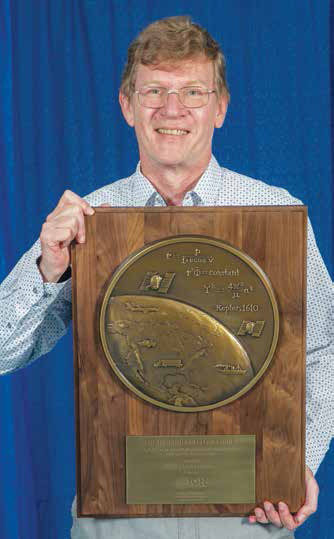
Dr Santiago Perea Diaz receives Parkinson award
The Institute of Navigation’s (ION) Satellite Division presented Dr. Santiago Perea Diaz with its Bradford W. Parkinson Award September 20, 2019 at the ION GNSS+ Conference in Miami, Florida.
Dr. Perea Diaz was recognized for graduate student excellence in Global Navigation Satellite Systems in his thesis, “Design of an …
Spatial ETL with Talend
Disy Informations systeme GmbH has enriched the Spatial ETL plugin „GeoSpatial Integration for Talend“ with new functionalities to suit the latest Talend version 7.2. Companies and authorities using the linear reference system for calculations and map presentations can now use the Talend platform, including the spatial add-on for calculations, in the data …

The Centre for Spatial Data Infrastructures and Land Administration (CSDILA) at the University of Melbourne, Australia, has been chosen…


 (5.00 out of 5)