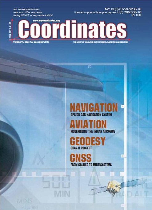
ISRO to set up ground station to relay RS data DG’s satellite imagery for Chinese navigation companies China, Pakistan ink deal on remote sensing GeoEye to buy SPADAC for USD 46million PCI Geomatics to deliver GXL satellite processing system
GLONASS-enabled phone by March 2011 China experiencing boom in LBS market Mobile GIS for renewable energy HP Navigator on Spime’s Hybrid LBS platform Wi-Fi will outstrip other location technologies Wi-Fi will outstrip other location technologies
Taiwanese technology reads damaged GPS chips Glonass-K launch postponed to next year Big blow to Russian navigation satellite system Two satellites join GLONASS China prepares for 7th Compass/BeiDou-2 Launch Scientists using high precision location data in epidemiology High-tech tracking of infra development in Bihar, India GPS tracking of criminals taking off in Nepal
Vietnam, India ink deal to deploy GIS technologies Monitoring woodpeckers USD 140 million order for substations deploying GIS Brunei now in 3D Singapore rolls out marine biodiversity survey Bentley to join consortium for clean energy France’s national mapping agency selects Intermap OS working on Olympic site map accuracy Shoreline maps of Gujarat and Puducherry released Indian archaeologists discover rehistoric maps NSDI 10: National Geospatial Ecosystem – The Road Ahead
Galileo Control Centre in Italy starts operation
Prague to be Galileo’s headquarters
All hands on deck for European space push
INDUSTRY | LBS | GPS | GIS | REMOTE SENSING | GALILEO UPDATE
Contract signing gives Galileo system its operators
ESA signed a contract with Spaceopal, the company providing ground-based services
needed to operate the Galileo constellation once it has been fully deployed. The
agreement was signed by Rene Oosterlinck, ESA’s Director of the Galileo Programme
and Navigation-related activities, …
February 2011
ILMF 2011
7 – 9 February2011
New Orleans, LO, USA
www.lidarmap.org/ILMF.aspx
16 International Geodatic Week
13- 19 February 2011
Obergurgl, Austria
www.geodaesie.uibk.ac.at/obergurgl.html
March 2011
The Munich Satellite Navigation Summit 2011
1-3 March
Munich, Germany
www.munich-satellite-navigation-summit.org
GEOFORM-2011
15-18 March
Moscow, EcoCentre Sokolniki
www.geoexpo.ru/defaulteng.stm
April 2011
6th National GIS Symposium in Saudi Arabia
24-26 April
Khobar, Saudi Arabia
www.saudigis.org
Geo- Siberia 2011
27-29 April
Novosibirsk, Russia
www.geosiberia.sibfair.ru/eng/
May 2011
ASPRS 2011
1 – 5 May
Milwaukee, Wisconsin, USA
www.asprs.org/milwaukee2011/
Gi4DM 2011
3 – 8 May
Istanbul, Turkey
www.gi4dm.org
June 2011
Trans …

Giovanni Dore, Mario Calamia
The integrity concept, intended as a continuous control of the information broadcast by the satellites, has been introduced by the Galileo system. Though the RAIM technique represents the first example of integrity monitoring, it has the characteristic to detect only local errors, at receiver level. The integrity monitoring applied by EGNOS, instead, could be seen as the forerunner of the Galileo one. Though there are many differences in the definition of integrity of the two system, the main aim is the same for both, that is to protect the user…
INDUSTRY | LBS | GPS | GIS | REMOTE SENSING | GALILEO UPDATE
3rd Generation RTK S760 by SOUTH
SOUTH has released the 3rd generation RTK product, S760. A single rugged unit, independent to any external device, has integrated antenna, mainboard and PDA all together, which is an ideal high precision handheld GIS data collector in …


 (5.00 out of 5)