coordinates

Dec 2014 | No Comment

The provision of public services is considered as one of the basic goals which city managements all over the world seek to realize. In particular, the provision of public services indicator is considered as one of the most important urban indicators which reflect the quality of life for city residents. In this regard, the High Commission for the Development of Arriyadh, that is responsible for planning and comprehensive development of the city, has approved an overall plan for coordination and provision of public services in Arriyadh city.

Dec 2014 | No Comment

The most basic operation of a vessel monitoring system is to determine the location of the vessel at a given time, and periodically send this information, usually by satellite, to a monitoring station ashore. Most of vessels are tracked using the purple finder. This finder uses various satellites like Inmarsat, Globalstar and Thuraya for tracking the vessel. INMARSAT-C has been the most considered choice, since INMARSAT transceiver is already fitted onboard many ocean-going vessels as required by GMDSS (Global Maritime Distress and safety System).

Dec 2014 | No Comment

Over the recent past, the vulnerability of Global Navigation Satellite Systems (GNSS) to interference has become a concerning issue (Mitch, 2011), (Pullen, 2012). Nowadays, illegal portable jamming devices are becoming popular to protect the user from being tracked by GNSS in their vehicle. These so-called personal privacy devices radiate different types of interference signals in the GNSS frequency bands and can make conventional receivers inoperable. Counter measures have to be taken to prevent strong interference from blocking the GNSS-receivers for safety critical applications.

Nov 2014 | No Comment

Vol. X, Issue 11, November 2014

Nov 2014 | No Comment

MARK YOUR CALENDAR

Nov 2014 | No Comment

UAVs: Set to fly high?

Nov 2014 | No Comment

AT A GLANCE

Nov 2014 | No Comment

RCD30 Penta Oblique system is now available with new optics. The camera is now available with 80 mm and 150 mm focal length respectively…

Nov 2014 | No Comment

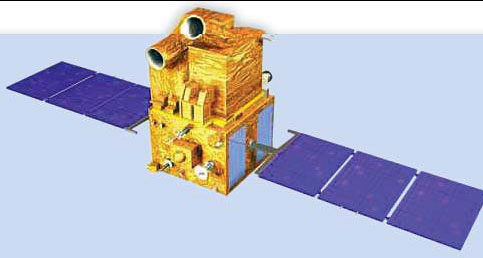
On 16th October 2014, India’s Polar Satellite Launch Vehicle (PSLV-C26) had put the Indian navigation satellite, IRNSS- 1C into its perfect…

Nov 2014 | No Comment

A new groundbreaking tsunami warning system, based in Hyderabad, has been scheduled for launch in the first quarter of 2015. RegPoint is the European company…