
Locix launches SmartLPS
Locix has launched its SmartLPSTM solution that digitizes, analyzes, and displays real-time and historical operations for workers, assets, and inventory in warehouses through its patented WiFi-based local positioning system (LPS). It demonstrated the efficacy and accuracy of the solution through an extended trial with MITSUI-SOKO Supply Chain Solutions (MSCS) and Prologis in …
Bluesky LiDAR Reveals Archaeological Legacy of London Landscape
A detailed laser mapped aerial survey from Bluesky is helping the City of London Corporation understand and plan for the future of London’s most extensive, natural grassland. The historic environment assessment of Farthing Downs was completed by the Museum of London Archaeology (MOLA) and will form the first …

25th INTERGEO: 17 – 19 September 2019 Stuttgart, Germany
The leading international trade fair for geodesy, geoinformation and land management – together with the CONFERENCE and its themed platforms INTERAERIAL SOLUTIONS, SMART …

In 2017, 77% population of India was exposed to ambient PM2.5 above 40 μg/m3, which is the recommended limit by the National Ambient Air Quality…

On emerging wide-area high-accuracy open PPP/PPP-RTK correction service and low-cost multi-frequency GNSS receivers, the centimeter-level high-accuracy positioning…
New Quanta Series INS/GNSS by SBG Systems Dedicated to Mobile Mapping
SBG Systems has presented for the first time at the INTERGEO show in Stuttgart (Germany), the Quanta Series, a brand new line of Inertial Navigation Systems (INS) dedicated to air and land based mobile mapping integrators.
Because SBG Systems wants surveyors to save autonomy …
Applanix releases New POSPac LiDAR Quality Control Tools for UAVs
AApplanix has introducedLiDAR Quality Control (LiDAR QC) Tools for Unmanned Aerial Vehicles (UAVs)—a new software module supported by the latest release of Applanix’ industry-leading GNSSaided inertial post-processing software packages, POSPac Mobile Mapping Solution (MMS) and POSPac Unmanned Aerial Vehicles (UAV). LiDAR QC Tools for UAVs …
FARO® introduces 3D Solutions for AEC Industry
FARO® is previewing an innovative set of 3D solutions specifically developed for AEC professionals.
The FARO Indoor Mobile Scanning solution enables kinematic 3D scans to be completed up to 7X faster than a series of traditional, fixed point scans over comparable areas. Thus, projects that took days can …
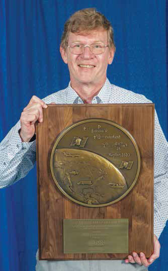
Dr Santiago Perea Diaz receives Parkinson award
The Institute of Navigation’s (ION) Satellite Division presented Dr. Santiago Perea Diaz with its Bradford W. Parkinson Award September 20, 2019 at the ION GNSS+ Conference in Miami, Florida.
Dr. Perea Diaz was recognized for graduate student excellence in Global Navigation Satellite Systems in his thesis, “Design of an …


 (5.00 out of 5)