Articles in the Mycoordinates Category

The damage caused by Hurricane Katrina to the southern United States has exploded the myth that natural disasters happen only to poor countries. Yet there is a grain of truth in the myth. Natural disasters happen all over the world, but the extent of damage and loss of life has far more to do with the preparedness and responsiveness of the relevant human systems, not only where the disaster happens but also often half-way across the world.

We have Bhuvan now!
Few months back, ISRO announced its plans for Bhuvan.
And now it is a reality.
An Indian earth observation visualization portal.
Showcasing Indian imaging capabilities.
Unique and different.
From India and for India.
Open to public.
There is euphoria; there are expectations.
And a long way to go.
The first step has been taken.
Kudos to ISRO.

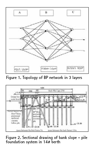
The high pile wharf has the advantage of slight wave reflection, steady anchoring condition, little investment and the construction time being short. Therefore it has been widely used in coastal areas where the ground has soft soil. But, on the other hand its penetrant structure raises some problems also for the structure. In order to guarantee the request of ships draft, the front water area of the wharf has to be dug more deep,…

The term Terrestrial 3D Laser Scanning scan is commonly referred to the process of collecting large number of data points through high performance hardware devices (3D Laser Scanners) delivering raw data outputs in the form of point clouds or cloud of points (CoP). The concept of High-Definition surveying, on the other hand, extends the capabilities of 3D Laser Scanners by providing effective field and office workflow solutions in combination…

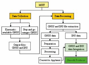
An inertial navigation system (INS) is a self-contained navigation system that primarily measures position, velocity and attitude. The system’s inertial frame measures the accelerations and the rotations by using an inertial measurement unit (IMU). The IMU is a group of six inertial sensors which are three linear accelerometers and three gyroscopes (gyros)…
“We are convinced that if we are to play a meaningful role nationally, and in the community of nations, we must be second to none in the application of advanced technologies to the real problems of man and society.”…
INDUSTRY | LBS | GPS | GIS | REMOTE SENSING | GALILEO UPDATE
wireless adapter can take advantage of its positioning technology and locate a user. Users
Opera Software and Skyhook Wireless …


 (5.00 out of 5)