BeiDou is the Chinese pronunciation of the Big Dipper, which consists of seven stars located exactly at the north sky. Chinese people used BeiDou for identifying directions as long back as the ancient times. They also invented the world’s first navigation device based on terrestrial magnetism, the ancient compass, whose Chinese pronunciation is Sinan.

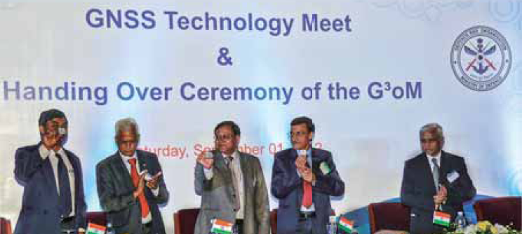
The project involves the establishments of a full complement of SBAS consisting of 15 Indian Reference Stations (INRES), 3 Indian Land Up-link Stations (INLUS), 2 Indian Master Control Centers (INMCC), 2 Geo-Stationary Navigation Payloads and with all the associated software and communication links.

High-performance autonomous pedestrian dead-reckoning (PDR) systems usually include 6 degrees-offreedom (DOF) inertial measurements unit (IMU) to calculate position of the user. These systems don’t rely on GPS signals and preinstalled infrastructure such as RF beacons, Wi-Fi routers, ultrasonic transmitters etc.
IAIN 14th Congress & Melaha 2012 Conference
1 – 3 October
Cairo, Egypt
www.ainegypt.org;
GISSA Ukubuzana 2012
2 – 4 October
Gauteng, South Africa
http://www.gissa.org.za/;

A casual Internet search can uncover much concern about the abruptness – and a potential for unnecessary “dodgesjust- in-case-the-azimuth direction…” – and the safety – of the climb / dive combination. Those and other capability restrictions are traceable to limited pre- GPS technology – highly dependent on transponders.
Under the watchful eye of ESA’s Vecmap initiative, the Asian bush mosquito is about to get bitten in Belgium. First observed in Belgium in 2002, the Asian bush mosquito can spread viruses such as Chikungunya, Dengue, and West Nile. Vecmap tests the accurate mapping of mosquitoes in Europe and in particular, mosquitoes carrying diseases.
The next Galileo navigation satellite has touched down at Europe’s Spaceport in French Guiana, to begin preparations for its launch in October. These third and fourth Galileo ‘In-Orbit Validation’ (IOV) satellites are due to be launched aboard a Soyuz ST-B vehicle in October. These new satellites will join the first two Galileo satellites – launched last year – in medium-Earth orbit at 23 222 km.


 (5.00 out of 5)