Zip
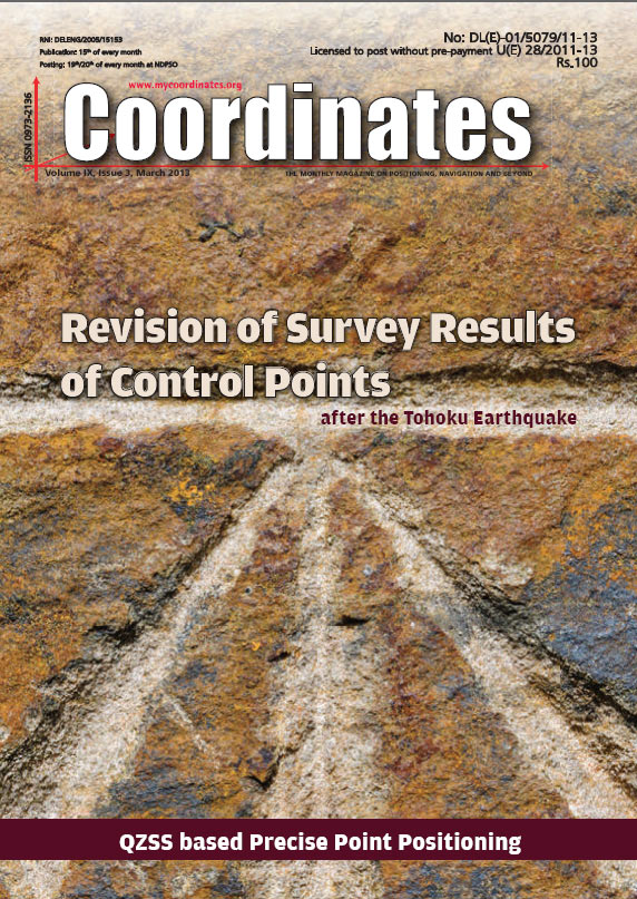
Revision of Survey Results of Control Points
Atsushi YAMAGIWA and Yohei HIYAMA
An approach to effective land registration
Hyunil Yoo and Handon Joo
QZSS LEX message data for Precise Point Positioning
C H Wickramasinghe and L Samarakoon
Mitigating the systematic errors of e-GPS leveling
Lao-Sheng Lin
Surveying profession in Nigeria
Abdul-Lateef BALOGUN, Abdul Nasir MATORI, Yussof KHAMARUZAMAN, Dano umar LAWAL, Imtiaz CHANDIO
My Coordinates
EDITORIAL
Mark …
NovAtel Inc., has added a new commercially exportable MEMS IMU (micro electromechanical inertial measurement unit) to its line of SPAN GNSS/INS products. It is supplied by Analog Devices (Norwood, Massachusetts) and is exclusive to NovAtel. It can be paired with an OEM6 receiver card to provide continuously available position, velocity, and attitude (roll, pitch, yaw) in a small, single-unit form factor.
Philipp Ronnenberg, a masters student in design interactions at the Royal College of Art in London, recently showed off the first prototype sensors for his alternate “Open Positioning System,” which are designed to pick up regular seismic waves given off by large machinery in nearby power plants and factories. Once a sensor detects at least three different nearby seismic wave sources, Ronnenberg theorizes it should be able to determine its location. So far, he’s built a prototype sensor using the Arduino open source hardware microcontroller, which he says “can detect and collect different frequencies.
A detailed assessment of the country’s mineral resources is required before mines are put up for bidding with the aim of revenue maximisation, said the Economic Survey. “In order to meet the objective of revenue maximisation in an open, transparent and competitive manner, this should be preceded by detailed geological mapping of the mineral wealth of the country,” said the Economic Survey 2012-13, tabled in Parliament. http:// articles.economictimes.indiatimes.com/
Europe’s two satellite navigation systems could combine in future for heightened performance, an airborne test has confirmed. A helicopter flight took place above an Alpine valley, the one place on Earth where Galileo services are already routinely available. Results of last autumn’s flight test show that adding Galileo signals to the European Geostationary Navigation Overlay Service – EGNOS – that currently augments the accuracy and reliability of US GPS signals over Europe should boost its accuracy significantly.
Fujitsu exhibited a prototype of its GPS-enabled walking stick at Mobile World Congress recently in Barcelona. The futuristic stick is aimed at getting older people out of the house, but would be equally at home slung over the arm of an Apple hipster while their iPod Nikes are in the wash. The user can configure their route on a PC before downloading it to the stick via Bluetooth. As you tap along the street, a display on the top of the stick shows you when to turn – removing the need to muck about with smartphone maps while you’re trying to pay attention to your surroundings. www.theregister.co.uk


 (5.00 out of 5)