Articles in the Mapping Category

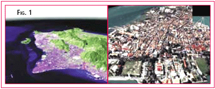
Spatial data is the fuel for 3D Applications, but all too often the fuel supplied is inappropriate. The software applied and expertise required when modelling a flood event or predicting a cityscape’s lineof-site is exactly the same using highly precise data as it is for generalised data. The difference is in how well that analysis relates to the real world … i.e. whether the analysis is correct or not. Conversely, supplying highly accurate or dense data to a generalised analysis can cost both time and money which is not reflected in the final product. Hence the word of this paper is: appropriate. Apply the most appropriate data to your application. There is nothing wrong with “approximate” or “inexpensive” 3D data, as long as it is appropriate for the level of analysis being performed.

Mumbai acquired its port importance only with the advent of the Portuguese in 1508. Francis Almeida sailed into this harbour and called it as Bom Bahia or the Good Bay. The British corrupted the Portuguese name “Bom Baia” to “Bombay”. The Kolis used to call the islands “Mumba” after Mumbadevi.
It was the British who developed it into a centre of commerce to rival any other centres in the country then. The British embarked upon large-scale reclamations and engineering works to consolidate the seven islands. In 1803 Bombay was connected with Salsette by a causeway at Sion. A causeway now called Colaba Causeway joined the island of Colaba to Bombay in 1838 and the Causeway connecting Mahim and Bandra was completed in 1845. This gave access to the rich hinterland of the Deccan providing further impetus for the growth of then Bombay.

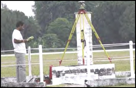
With the launch of GPS in the 1980s, the task of providing control points for mapping purposes was greatly simplified, leading to economy and ease of operation. The technique of LASER mapping, which existed decades before GPS, also received a boost due to GPS, as instantaneous precise positioning of the exposure station during the mobile LASER mapping operation was made possible by GPS, thus solving a major problem in LASER mapping…

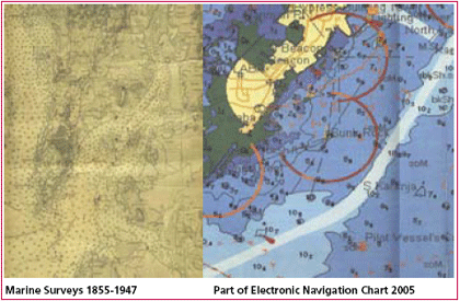
A nautical chart is a medium of information and tool for safe maritime navigation. It is the chief nautical instrument for ocean route planning and safe navigation. With the time not only the user’s requirements have increased, but also the advancement in the expertise in the field of nautical cartography has resulted in better product in the most useful way. With the advent of modern cartography, chart contents are stored in…

A case study of El Salvador City has been done using various photogrammetric techniques. This project comprised the complete new mapping of the town including all features like buildings, boulevards, roads,manhole/ drainage, light / telephone polls, trees /tree areas, ponds, river and streams (with break lines), Monuments, playground / Parks etc. The vectorization of the model has been done on Digital (Socket Set) and analytical systems both. From speed point of views digital systems are as good as analytical systems. It also depends on the skills / expertise of the Operator who is preparing the maps.

The past two decades have seen extraordinary growth in the demand for geo-spatial data. This demand has numerous sources and takes many forms; however, the net effect is an ever-increasing thirst for data that is more accurate, has higher density, is produced more rapidly, and is acquired less expensively. Unfortunately, traditional techniques for collecting spatial data, such as conventional surveying techniques, point-wise GPS, or aerial photogrammetry, have difficulties satisfying many of the new data collection requisites. Conventional surveying or point-wise GPS are, for instance, poorly suited for the rapid and inexpensive collection of data over large areas. Traditional aerial photogrammetry, while satisfying these needs, is disadvantaged by the requirement to establish moderately dense and expensive ground control.

The main purpose of an Aeronautical Chart is to contribute to the safety, regularity and efficiency of International Air Navigation. The increasing speed and operating altitude of modern aeroplanes, coupled with increasing congestion of air traffic necessitate availability of precise and up-to-date charts. This can be achieved by having an efficient system of Aeronautical Chart production.


 (5.00 out of 5)