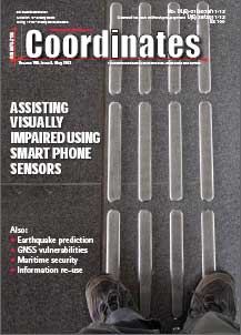
For the blind and partially sighted the visual cues which are a significant part of monitoring the environmental flow are either severely limited or non-existent. Thus the challenge is to be able to use man-made sensors and technology such as the smart phone based sensors to assist such individuals in monitoring the environment and collecting cues/ data about the environmental flow.

Mumbai, the commercial and financial capital of India has seen two major terrorist attacks in last two decades; once in 1993, when Mumbai rocked in a series of blast and second time in November 2008 when Mumbai faced a fidayeen attack where less than a dozen terrorists held the city at ransom for almost 60 hours.

Even if an upcoming revision of the said PSI Directive will lead to a duty for Member States to allow re-use, the decision about what information or data is made public would remain a domestic one. There are sound reasons for this; an important one is that the legislative competence of the EU to regulate access to national government information is limited.

Consciously or not, all humans are navigators, so it is without wonder that satellite navigation has swiftly become a backbone of modern civilisation. All of the sudden, situation awareness and management become significantly improved by introduction of the helpful and inexpensive technology that provides positioning services of unprecedented quality.

This paper summarizes the pre-signals before the earthquake which may be important information for predicting the occurrence of earthquakes as well as the crustal movement after the earthquake. At last a case study of simulation of future catastrophic earthquakes and Tsunami which may happen in coming a few hundred years by using archeological excavation data of the past great earthquakes
Established in 1994, the Hungarian Association for Geo-information HUNAGI is a non-for-profit, non-governmental umbrella organisation with the mission goal to encourage and facilitate the availability, accessiblity, share and useability of geographic information according to the EU INSPIRE directive. To achieve the goals HUNAGI provides forums for industry stakeholders and relevant governmental entities and other learned societies to build partnership which can benefit fom use of geosptial data and related technologies.

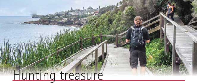
I was having breakfast at Warren College, Sydney last November when Claus-Sebastian Wilkens from Institute of Aerospace Systems, Germany asked me if I was aware of ‘geocaches’. Geocaches – what? I expressed my ignorance. He explained that Geocaching is a realworld outdoor treasure hunting game. Players try to locate hidden containers, called geocaches, using GPS-enabled devices and then share their experiences online (www.geocaching.com).
Spectra Precision new ProFlex™ 800 is a powerful GNSS solution with revolutionary Z-Blade™ GNSS-centric technology. It delivers fast and reliable RTK positioning, even in environments where GNSS signals may be difficult to acquire. Rugged and IP67 rated, it is built to withstand harsh operating conditions for a variety of positioning applications.
The U.S. Army Geospatial Center (AGC) and Engineer Research and Development Center recently released the Hydrologic Data Resources Application (HyDRA) – a Web-based data survey and analysis tool created to provide the Dept. of Defense (DoD) logistics and geospatial intelligencerelated water communities with information on water resources data collection, visualization and dissemination in a mobile, enterprise-enabled environment. HyDRA allows users to view, collect and edit unclassified water resources features via Android 2.2+ OS smart devices using Google MapsTM and Google EarthTM applications.


 (5.00 out of 5)