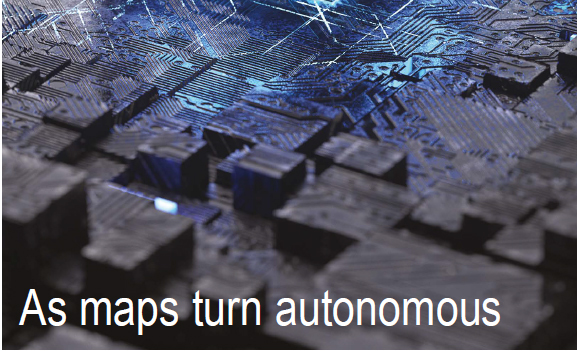
| Geospatial technology is no longer confined to maps, layers, and overlays.
It is rapidly evolving into a living, reasoning system,
That observes, predicts, and decides.
As AI converges Earth observation, GIS, positioning, and analytics,
This delivers unprecedented scale, speed, and insight
While also introducing opacity, bias, and decision fatigue.
In an interview with Coordinates magazine,
Dr. Mukund Kadursrinivas Rao reminds us
That as geospatial systems shift
From mapping the world to reasoning about it,
Trust can no longer be assumed,
It must be verified. |


 (No Ratings Yet)


Leave your response!