Articles tagged with: IAN WILLIAMSON

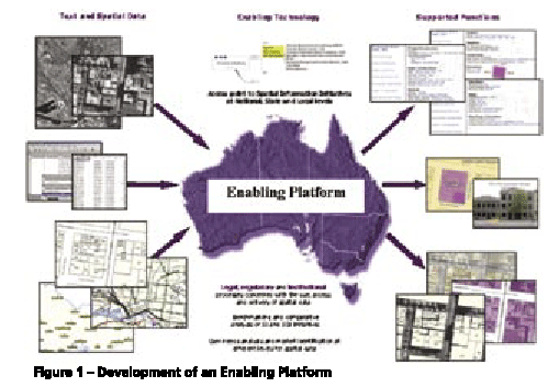
Users of positioning and spatial information services and tools require precise spatial information in realtime and real-world objects. Simply an accurate positioning of a future subdivision is no longer accepted, users require it to be visualized as well, in order to take into account outside in?uences. The capacity to meet such user needs and deliver services and tools within the spatial information market has gone beyond the ability of single organisations (Rajabifard, et al, 2005a). There is now a wide range of products and services available for a wide range of IT applications, and hence the development of an enabling platform can facilitate access to data and sharing resources and tools among different practitioners. The creation of an enabling platform for the delivery of these tools and positioning applications will allow users from diverse backgrounds to work together with current technologies to meet the dynamic market place.


 (5.00 out of 5)