Articles in the News Archives Category

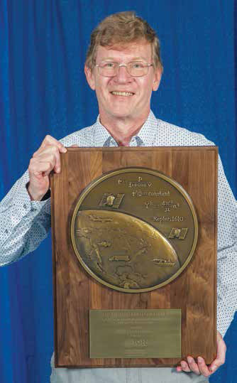
Dr Santiago Perea Diaz receives Parkinson award
The Institute of Navigation’s (ION) Satellite Division presented Dr. Santiago Perea Diaz with its Bradford W. Parkinson Award September 20, 2019 at the ION GNSS+ Conference in Miami, Florida.
Dr. Perea Diaz was recognized for graduate student excellence in Global Navigation Satellite Systems in his thesis, “Design of an …
Spatial ETL with Talend
Disy Informations systeme GmbH has enriched the Spatial ETL plugin „GeoSpatial Integration for Talend“ with new functionalities to suit the latest Talend version 7.2. Companies and authorities using the linear reference system for calculations and map presentations can now use the Talend platform, including the spatial add-on for calculations, in the data …
Spirent Sim3D – Realistic multipath simulation
Spirent Communications plc has announced the availability of its innovative multipath simulation solution, Spirent Sim3D. It enables the testing of realistic multipath and obscuration effects on GNSS signals in a true-to-life synthetic environment.
Historically, researchers and developers of GNSS receivers have had to rely on statistical models and time-consuming fi eld …
BasicAI OnPrem data labeling platform
BasicAI has announced the availability of a suite of enterprise software designed to enable organizations to directly manage the often complicated and time-consuming data annotation process in their own secure environments, either on-premises or in a private cloud deployment.
BasicAI OnPrem represents a groundbreaking approach to proprietary labeled data set creation and …
FlytGCS Enterprise for remote drone fleet operations
FlytGCS, is a cloud-based remote operations solution for drone operators and service providers. As the commercial drone market matures, professional drone operations are maturing to enterprise ones – with corporations across the world building in-house drone fleets and programs, runnings PoCs and pilots for multiple use-cases, and investing in …
NASA and METI release ASTER Digital Elevation Model Version 3
The US National Aeronautics and Space Administration (NASA) and the Ministry of Economy, Trade, and Industry (METI) of Japan jointly released Version 3 of the Advanced Spaceborne Thermal Emission and Reflection Radiometer (ASTER) Global Digital Elevation Model (GDEM), recently. The ASTER GDEM is available at no …
US Space Command established
In a move to enhance the United States’ space superiority capabilities, President Donald J. Trump, Vice President Mike R. Pence, Secretary of Defense Dr. Mark T. Esper and Air Force Gen. John W. Raymond formally established the United States Space Command during a ceremony held Aug. 30 at the White House.
At the …
UN-GGIM recommends establishing a Global Geodetic Centre of Excellence
The UN-GGIM Subcommittee on Geodesy has recommended establishing a Global Geodetic Centre of Excellence to strengthen the capacity to implement the UN General Assembly resolution. The subcommittee is presenting the second iteration of the position paper defining appropriate governance arrangements.
The Global Geodetic Reference Frame (GGRF) is in …
Racelogic announces Satgen Galileo update
RACELOGIC Limited, experts in the field of GPS testing and data logging today announced the latest update to its’ SatGen GNSS simulation software for PC which now incorporates Galileo RF simulation.
Designed to create a GNSS RF I&Q or IF data file based on a user-generated trajectory file, the updated software can …
Drone Companies snag $7.5 Million Air Force contract to develop UTM
Two New York drone companies have flown into a cloud of sweet, sweet government dollars after receiving a $7.75 million grant from the Air Force Research Lab.
UAS provider AX Enterprize of Yorkville, N.Y. and drone UTM company Thales USA will use the money to investigate …


 (5.00 out of 5)