Articles in the His Coordinates Category

says Paul Verhoef Programme Manager, EU satellite navigation programme, European
Commission, Brussels, Belgium while emphasising on the difference between Galileo and
other GNSS systems
What is the status update on Galileo and in what stages will it become operational?
We are currently defining our initial operational capability (IOC) in detail.
Initially some services will be available which will not …
An interview with Charles Branch, Portfolio Manager, Radio products, Pacific Crest Corporation
“The Gold Standard in Communications and Positioning.” What are the efforts that go into maintaining the ‘standard’ at Pacific Crest?
The efforts are towards:
• Increasing range by use of cleaner signal and greater receiver sensitivity
• Increasing operational efficiency by use of smarter protocols
• Increasing throughput by use …
says Mr. Swarna Subba Rao, Surveyor General of India about the upcoming agenda for Survey of India.
As the Surveyor General of India what are your immediate priorities for Survey of India?
Survey of India is India’s National Survey and Mapping Organisation and is the oldest scientific department of the country. In the years since its establishment …
says Shri KR Sridhara Murthi, Managing Director, Antrix Corporation with reference to the Indian Remote Sensing Satellite.
What are the added features in CARTOSAT-2B as compared to CARTOSAT-2A? What will be its marketing strategy?
CARTOSAT-2B is an identical satellite of CARTOSAT-2A and is meant for continuity of services. They are not available for commercial distribution. As …
Says V P Agrawal, Chairman, Airports Authority of India
In what specific areas of operation is AAI using the GPS technology today?
GPS Technology is used in AAI in the following areas:
a. Performance Based Navigation- Area Navigation COSPAS-SARSAT –Search and Rescue systems (satellite based)
b. Land Survey and Land Management
c. Preparation of Airport Maps and Charts – Cartography
Please …

Says John Pottle Marketing Director, Spirent Communications, Positioning Group
2009 was seen as a difficult year for most businesses. However, 2009 was ‘as expected’ for Spirent in terms of revenues and profits, how did Spirent manage this?
Spirent sells test systems for navigation and positioning across the industry, from government to consumer products, from R&D through to …
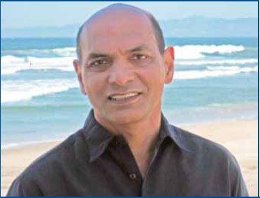
Says Sanjai Kohli, Father of Mass Market GPS and Inventor Extraordinaire
Congratulations on winning the European Inventor Award 2010 along with Steven Chen for your outstanding work on developing powerful chipsets. The GPS industry has already felt the impact of your invention, how do you feel about the recognition finally being accorded to you?
We knew that …

says François Erceau vice president and general manager of Ashtech
While commenting on the name change from Magellan Professional to Ashtech you said, “Ashtech brings a remarkable legacy of technology, precision, and innovation, but the ‘new Ashtech’ is a venture for the 21st century.” Would you like to elaborate?
Founded in 1987, Ashtech® has long played an …

Donald G DeGryse
says Donald G DeGryse, Vice President, Navigation Systems for Space Systems Company, Lockheed Martin
The Navigation Systems business unit was established in 2001 and has had an eventful journey so far. What in your opinion are three ‘landmarks’ achieved by the unit since 2001?
Navigation Systems was established to combine Lockheed Martin’s world-class system engineering …

The NSDI Annual event, NSDI-9 is around the corner. What has been the progress of NSDI in the past year?
The major achievement during the intervening period is release of NSDI metadata standard ver.2.0. The earlier version was brought out before ISO (TC.211)/OGC, released the standard on metadata ISO 19115. Now, this standard conforms to the international standards. Taking the SDI a step forward, the Karnataka Geo-portal of Karnataka Spatial Data Infrastructure is being launched during NSDI-9 and Delhi Geoportal has already been launched in November 2009. Kerala has sanctioned the requisite resources for creating Kerala State SDI. The process of building Kerala Geo-portal is on and the RFP is already issued.


 (5.00 out of 5)