Articles in the Innovation Category


“I always read that the world, land and water, was spherical… Now I observed so much divergence, that I began to hold different views about the world and I found it was not round…. but pear shaped, round except where it has a nipple, for there it is taller, or as one had a round ball and, on one side, it should be like a woman’s breast, and this nipple part is the highest and closest to Heaven….” – Kenneth C. Davis New York Times Best Seller “Don’t know much about Geography” Permissions Department, William Morrow and Company, New York, NY, 1992.

For reasons unknown, the “GIS/Geographic” has quietly crossed its rightful “domain
It was up to 1985 that everything …

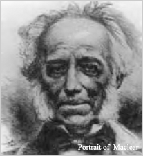
By 1840 Everest was beginning to think of retiring. He was reaching completion of the Great Arc which was his initial aim but after that he had no further plans that would keep him in India. The last link in the Arc was the remeasurement of the Bidar …
For extended periods throughout his long stay in India Everest was …
After his extended sick leave Everest reached India …
For anyone serving in India during the 19th and early 20th century life …
Everest arrived back in India at the end of 1821 and then had to trek …
It was the 25 November 1820 when Everest reached Table Bay and the chance to recover from the fevers to which he had succumbed. Little is known of the year he spent there other than the work he did on the meridian arc that had been observed by M. l’Abbé de LaCaille some 70 years …
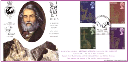
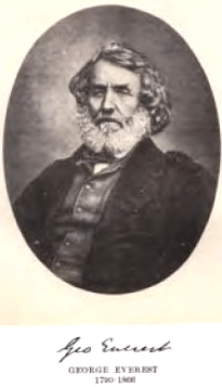
George Everest entered the Bengal Artillery as a Lieutenant on 4 April 1806 before he had even reached his 16th birthday. This rapid promotion was due to the number of vacancies at that time. Little has come to light about the first few years of his service in India until the siege of Kalinjar near Allahabad in 1812…


 (5.00 out of 5)