Articles in the Imaging Category

GHGSat unveils Satellite Imagery of Greenhouse Gas
GHGSat Inc. has unveiled sample imagery from its demonstration satellite, Claire (or GHGSat-D), which has detected emissions of methane from a hydroelectric facility under construction in Africa. GHGSat’s vision is to become the global reference for remote sensing of greenhouse gas (GHG) emissions from industrial sites, using satellite …
FARO introduces PointSense 18.0 Suite
FARO has announced the availability of the FARO® PointSense 18.0 software suite. This robust software platform evolution delivers seamless integration into the latest 2018 AutoCAD® and Revit® design tools, a better user experience, improved software handling, and enhanced efficiency in processing software data.
The one stop bundle and compatibility across …
Remote GeoSystems launches LineVision Google Earth Extension
Remote GeoSystems, Inc. have released the all new LineVision™ Google Earth Extension – commercial software for UAV, airborne & terrestrial mobile inspection and survey projects requiring georeferenced video playback, analysis, collaboration and reporting using Google Earth & other GIS applications. Now anyone with a GPS-enabled video camera, drone …
The five-nation group of BRICS will share spatial data on natural resources from their remote-sensing satellites for utilising space assets optimally…
One of NASA’s goals for 2017 includes the purchase of Earth Science data from small and medium satellite agencies…
FARO has announced the acquisition of MWF-Technology GmbH. MWF’s technology enables large, complex 3D CAD data to be transferred…
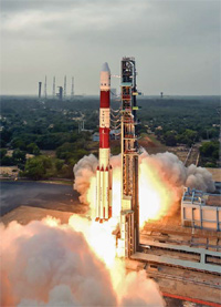
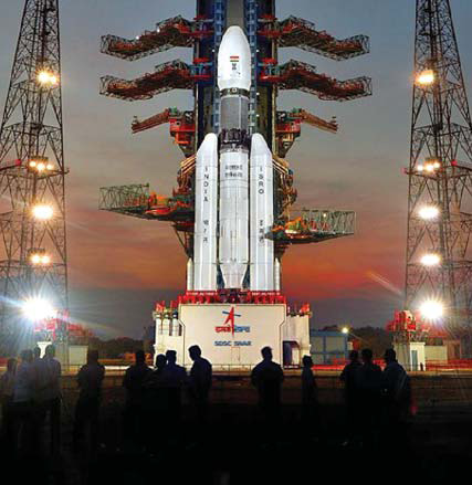
In its thirty eighth fl ight (PSLV-C36), ISRO’s Polar Satellite Launch Vehicle successfully launched the 1235 kg RESOURCESAT- 2A Satellite today morning (December 07, 2016) from Satish…
40 pioneering entrepreneurs, 31 mentors and representatives of the European Commission and the European Space Agency gathered in Madrid on 24 and 25 October 2016 for the initial bootcamp of the first Copernicus Accelerator.
Pakistan Space and Upper Atmosphere Research Commission (SUPARCO) is set to launch the country’s first remotesensing satellite in March 2018…


 (5.00 out of 5)