Articles in the Imaging Category
After four months at the Korean Aerospace Research Institute (KARI) test facilities in Daejeon, South Korea…
3D Laser Mapping campaigns for open-source lidar data
3D Laser Mapping will be offering open access to point cloud data which can be viewed and manipulated using GIS software. This information can be extracted for use by businesses, academic research and for in-house training opportunities.
The company will be releasing data collected using its flexible …
Remote sensing for cosmic dust and other celestial bodies
In a paper published in EPJ Plus, Stefano Bagnulo from Armagh Observatory and Planetarium in Northern Ireland, UK, and colleagues review the state-of-theart in polarimetry for studying the small bodies in our solar system. Combined with other observational techniques, such as thermal radiometry and visible photometry, …
Applanix announces POSPac Cloud for mobile mapping
Applanix, a Trimble Company, has introduced its POSPac Cloud software for directly georeferencing data collected from cameras, LiDAR, multi-beam sonar and other sensors on mobile platforms. An online version of Applanix’ industry leading GNSS-Aided Inertial POSPac MMS™ post-processing desktop software, POSPac Cloud is optimized for air, land and …
SpaceX notches 15th landing after launching overdue Formosat-5
A SpaceX Falcon 9 successfully launched a long-delayed remote sensing satellite for the government of Taiwan Aug. 24, executing another first stage landing in the process. Formosat-5 was built by Taiwan’s space agency, the National Space Organization, known by the acronym NSPO. The 450-kilogram spacecraft was the …
Former ISRO chairman UR Rao dies
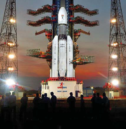
Eminent space scientist and former Indian Space Research Organisation (ISRO) chairman Udupi Ramachandra Rao passed away. He was 85.
He was suffering from age related ailments and breathed his last at his residence in the city. Rao is survived by his wife, a son and a daughter, ISRO officials …

GHGSat unveils Satellite Imagery of Greenhouse Gas
GHGSat Inc. has unveiled sample imagery from its demonstration satellite, Claire (or GHGSat-D), which has detected emissions of methane from a hydroelectric facility under construction in Africa. GHGSat’s vision is to become the global reference for remote sensing of greenhouse gas (GHG) emissions from industrial sites, using satellite …
FARO introduces PointSense 18.0 Suite
FARO has announced the availability of the FARO® PointSense 18.0 software suite. This robust software platform evolution delivers seamless integration into the latest 2018 AutoCAD® and Revit® design tools, a better user experience, improved software handling, and enhanced efficiency in processing software data.
The one stop bundle and compatibility across …
Remote GeoSystems launches LineVision Google Earth Extension
Remote GeoSystems, Inc. have released the all new LineVision™ Google Earth Extension – commercial software for UAV, airborne & terrestrial mobile inspection and survey projects requiring georeferenced video playback, analysis, collaboration and reporting using Google Earth & other GIS applications. Now anyone with a GPS-enabled video camera, drone …
The five-nation group of BRICS will share spatial data on natural resources from their remote-sensing satellites for utilising space assets optimally…


 (5.00 out of 5)