Articles in the Interviews Category

In the historical background section on the ISPRS site it says, “There is no clear-cut distinction between photogrammetry and remote sensing, and it is for this reason that the Society changed its name in 1980.” What then is the individual significance of ‘photogrammetry’ and ‘remote sensing’ for ISPRS?
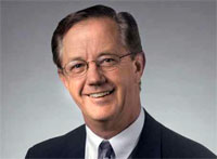
Donald G DeGryse
says Donald G DeGryse, Vice President, Navigation Systems for Space Systems Company, Lockheed Martin
The Navigation Systems business unit was established in 2001 and has had an eventful journey so far. What in your opinion are three ‘landmarks’ achieved by the unit since 2001?
Navigation Systems was established to combine Lockheed Martin’s world-class system engineering …

The NSDI Annual event, NSDI-9 is around the corner. What has been the progress of NSDI in the past year?
The major achievement during the intervening period is release of NSDI metadata standard ver.2.0. The earlier version was brought out before ISO (TC.211)/OGC, released the standard on metadata ISO 19115. Now, this standard conforms to the international standards. Taking the SDI a step forward, the Karnataka Geo-portal of Karnataka Spatial Data Infrastructure is being launched during NSDI-9 and Delhi Geoportal has already been launched in November 2009. Kerala has sanctioned the requisite resources for creating Kerala State SDI. The process of building Kerala Geo-portal is on and the RFP is already issued.
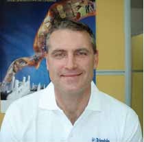
What is your vision with regard to Trimble expansion plan in India?
Our vision is to determine the challenges that our Indian customers are trying to solve in the Utilities, Construction, Infrastructure, Mobile Resource Management, GIS and Mapping, Public Safety and Surveying industries to develop localized software and hardware solutions that meet their needs for increased productivity and reduced rework. We offer solutions that have been proven worldwide and now we must determine if these solutions meet the needs of the Indian customer. Where the solutions do not meet their needs or requirements we must adapt them so they can provide our customers maximum productivity advantages. We can accomplish this by adding resources in our Delhi and Chennai offices in marketing, R&D and sales. Where we find it necessary to create or integrate new solutions to address the unique needs of the Indian market,
Bentley has introduced the ‘Be Employable’ initiative. Can you explain what it is designed to accomplish?
Malcolm Walter: Worldwide, the infrastructure community is facing the relentless pressures of a diffi cult economy, and the downsizing of design and engineering organizations has become widespread. Bentley’s mission of ‘sustaining infrastructure’ encompasses the need to ‘sustain the professions’ that design, build, and operate our infrastructure, and the Be Employable program is dedicated to doing just that.

says Dr V Jayaraman, Director, National Remote
Sensing Centre, Indian Space Research Organisation,
in an exclusive interview with Coordinates magazine
on ‘Bhuvan’
How do you envisage the role of Bhuvan?
The role is very clear; it is an Indian Earth Observation visualisation portal. Over the past two decades, ISRO has spearheaded myriad unique applications …
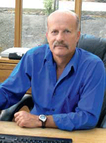
Is the name DAT/EM an acronym, or is there some other signifi cance behind it?
DAT/EM (pronounced dāt’-əm) is an acronym for Digital Automated Technology / Engineering Mapping. The software was developed internally between 3 production mapping fi rms located in the United States in the mid 1980’s. As such, our software was conceived in a production environment to meet the demanding technical needs of top-fl ight photogrammetric organizations. Since the fi rst data collection licenses were sold in 1987 (on analogue stereoplotters), we have never lost sight of the need for constant improvement of the software. We have always understood if the software tools can save a user one key-stroke (or more!) on a repetitive command, this will have a direct and positive infl uence on the company’s profi tability.






 (5.00 out of 5)