Articles in the Conference Category

The essence of INTERGEO can be summed up in the following statement: “We need to turn data into intelligent information and then transform this into knowledge and actions.” The world’s most important conference trade fair for geodesy, geoinformation and land management draws to a close today after three amazing days in Hanover.
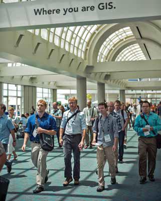
“Geography is our platform for understanding the world,” said Esri president Jack Dangermond in his opening remarks at the 2012 Esri International User Conference, held July 23–27 in San Diego, California, “and GIS makes geography come alive by condensing down data and knowledge into a kind of language that we can easily understand.”
The United Nations Programme on Space Applications, the Offi ce for Outer Space Affairs held the United Nations International Meeting on Applications of Global Navigation Satellite Systems at the United Nations Offi ce at Vienna, Vienna International Centre, in Vienna from 12 to 16 December 2011. The Meeting was co-sponsored by the United States of America through International Committee on GNSS (ICG).
Established in 1994, the Hungarian Association for Geo-information HUNAGI is a non-for-profit, non-governmental umbrella organisation with the mission goal to encourage and facilitate the availability, accessiblity, share and useability of geographic information according to the EU INSPIRE directive. To achieve the goals HUNAGI provides forums for industry stakeholders and relevant governmental entities and other learned societies to build partnership which can benefit fom use of geosptial data and related technologies.
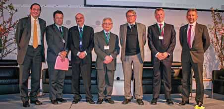
With the slogan “GNSS and Security“ the Munich Satellite Navigation Summit started a new decade of conferences and mentioned that this unique European Satnav-conference has its 10th anniversary. The organizing institute ISTA (which was former known as Institute of Geodesy and Navigation) from the Universitaet der Bundeswehr Muenchen, invited highranking speakers from all over the world to discuss the progress and challenges of GNSS.
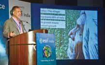
7 – 8 December 2011, Noida, India
Mr Rajendra S Pawar addressing the conference
The 12th Annual Esri India User Conference was a big hit with Users and Partners from across all spectrums of GIS Users. Held at the Radisson Blu MBD Hotel at Noida on Dec. 7th & 8th, 2011. It was a resounding success for …
Over 650 years of experience in spatial information management, land administration and spatial enablement were percolated into 22 presentations offering a raft of initiatives and insights across the world corresponding with the theme of the forum, “Beyond Spatial Enablement’- Land Administration to support Spatially Enabled Government”
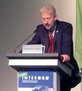
After the three-day INTERGEO event in Nuremberg, one thing was clear: “INTERGEO is a platform for dialogue between technology users from a variety of sectors – dialogue that gives rise to new approaches and applications. The resultant scope of possible new uses is considerable,” stated Olaf Freier, Managing Director of HINTE GmbH and INTERGEO organiser. “There is quite simply no better specialist platform for suppliers and users to network than this leading international trade fair,” said Professor Karl-Friedrich Thöne, President of INTERGEO patron DVW e.V. – the German Society for Geodesy, Geoinformation and Land Management.




 (5.00 out of 5)