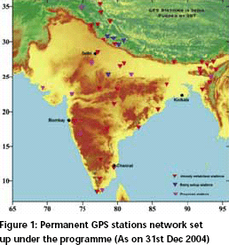
The GPS technology is being used extensively all over the world to generate useful data for different purposes. The Department of Science
and Technology, Government of India has evolved a programme on GPS to study crustal deformation processes with the following objectives…


 (5.00 out of 5)


 (5.00 out of 5)


 (5.00 out of 5)


 (5.00 out of 5)