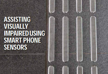
Assisting visually impaired using smart-phone sensors Oluropo Ogundipe
A project at the University of Nottingham, is working to investigate indoor positioning and object recognition to aid the blind. As part of that project, tests were conducted to assess the quality of the various sensors of a smart-phone, the aim was to assess whether the smart-phone could be used as the sensor platform to enable the development of assistive technology for the visually-impaired... [more]
Crustal movement before and after the Great East Japan Earthquake Dr Shunji Murai and Dr Harumi Araki
This paper summarizes the pre-signals before the earthquake which may be important information for predicting the occurrence of earthquakes as well as the crustal movement after the earthquake. At last a case study of simulation of future catastrophic earthquakes and Tsunami which may happen in coming a few hundred years by using archeological excavation data of the past great earthquakes... [more]
The importance of mitigation of GNSS vulnerabilities and risks Renato Filjar and Darko Huljeni
Growing number of technological and socio-economic systems relies upon satellite navigation, making it a backbone component of national infrastructure. Mitigation of GNSS vulnerabilities and risks has become a mandatory task not only for GNSS operators and national authorities, but for a wide range of GNSS stakeholders and users. The advanced assessment of potential effects of the GNSS vulnerabilities and risks can be performed by utilisation of the actions including stress tests in controlled positioning environments... [more]
LAPSI: An EU thematic network for enabling public sector information re-use Cristiana Sappa and Giuseppe Futia
Since the beginning the Legal Aspect of Public Sector Information (LAPSI) project intended to build a network apt to become the main European point of reference for highlevel policy discussions and strategic action on all legal issues related to the re-use of the Public Sector Information (PSI). Many legal aspects remain unclear and lots of doubts are there as to the technical issues, with particular reference to interoperability... [more]
Use of geospatial technologies for maritime security S S Pendse
To secure our maritime security we need to effectively use human intelligence and artificial intelligence. This supplemented by Topographic Maps, Hydrographic Charts as well as geospatial technologies like the GIS, Satellite imageries and Digital mapping, will go a long way to achieve this goal... [more]
Septentrio and QinetiQ partnership delivers first
Galileo PRS signal reception Septentrio and QinetiQ, working in close partnership with the European Space Agency (ESA) and their industrial partners, achieved the world's first successful reception of the encrypted Galileo Public Regulated Service (PRS) signal from the first Galileo satellites (launched in November 2011...[more]
Galileo passes inorbit signal test
The first two in-orbit validation vehicles (IOV) in Europe's Galileo satellite navigation system have passed key tests...[more]
From the lecture hall to the board room
The University Challenge - part of the European Satellite Navigation Competition (ESNC) 2012 - invites students and research assistants from any field of study to show off their innovative business ideas...[more]


 -NCS Simulators