Articles in the Innovation Category
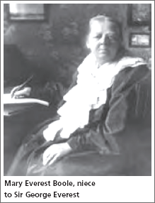
The last issue detailed the celebrations that took place for the anniversary of the birth of Sir George Everest but what do we know of the man? His is a household name because of its link to the mountain but many who are not surveyors either (a) think it is a made-up name for the …
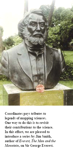
Beginning with this issue, JR Smith traces the life and work of Sir George Everest
My interest in Everest came about in two ways. Firstly in the early 1980s I had the idea of compiling a history of land surveying. It was soon obvious that it was a far too wide a topic to do justice …


Kumar Mapping (KMap) System
I recently checked the following two “real” products …

As India launches the DSMs and OSMs under its new map policy, it should not let the opportunity …


Seven out of ten customers of surveys and mapping who talk to the suppliers (consulting fi rms of surveying agencies) demand their maps to be delivered `yesterday’(!) or indeed as early as possible. These customers are `decision-makers’ who have taken some months (if not years) to come to the demand level! Same is the situation in respect of the tenders in mapping discipline. All the risks and uncertainties are put on the door of the suppliers / contractors. One should realize that although the surveying and mapping process never costs more than 1 or 2 percent of total budget, the same is not true when it comes to the time taken for the mapping project. The fact is that many projects are delayed just because the survey data of right quality and proper map was not made available to the engineer / planner.

With the Navy Navigation Satellite System (NNSS), we …


 (5.00 out of 5)